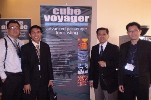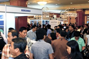
Geodata Solutions Inc. the exclusive supplier and distributor of "CUBE" in the Philippines attends the Futura Asia User Conference


Geodata's President Mr. Albert Morales and GIS Programmer/Analyst Mr. Francis Sacdalan, attended the recent Futura Asia Pacific-2009 User Conference at the Centara Grand Convention Center, in Bangkok, Thailand. The conference was hosted by Citilabs Inc., a software development firm which develops and offers "CUBE", an integrated suite of transportation planning software used around the globe. "CUBE" is integrated to the world's standard in GIS software-ArcGIS software of ESRI. "CUBE" offers a seamlessly integrated travel forecasting, traffic simulation and transportation GIS software suite.
Other "CUBE" users and enthusiasts were from Hong Kong, India, Indonesia, Japan, Korea, Malaysia, Philippines, Singapore, and Thailand. The week-long conference covered lectures, plenary sessions, and discussions on transportation modeling Asia Experience, land use and transportation, traffic microsimulation, public transportation, freight forecasting, and advanced travel demand modeling.
The conference was designed to familiarize new users of the "CUBE" software with its modules and its functionalities. And to help users gain knowledge of procedures to maximize the potentials and benefits of the system. It gave participants of the conference the opportunity to learn from industry experts and peers. Long-time users of "CUBE" staged a presentation, and shared the best practices being implemented in their respective country that showcased the outstanding results in terms of transportation forecasting and planning.
Keynote speakers in the conference were Citilab'sTraining Director, Mr. Colby Brown, and Mr. Michael Clarke, President. They discussed topics such as Scenario Analysis, Editing & Mapping with "CUBE", Model Development with "CUBE" Base, Travel Demand Forecasting with "CUBE" Voyager. Technical Software Presentation & Demos of all modules in the "CUBE" were also shown.
Highlight of the conference was the introduction of Citilab's newest models, the "Mint" and "Sugar". "Mint" is a web based application developed with "CUBE" that multiple client can run or test the model to obtain, analyze and map the data through the web. "Sugar" is a Transportation planning and operation suite for ArcGIS. "Sugar" can be embedded in ArcGIS Software that uses similar functionalities of "CUBE"